Professional Drone Services
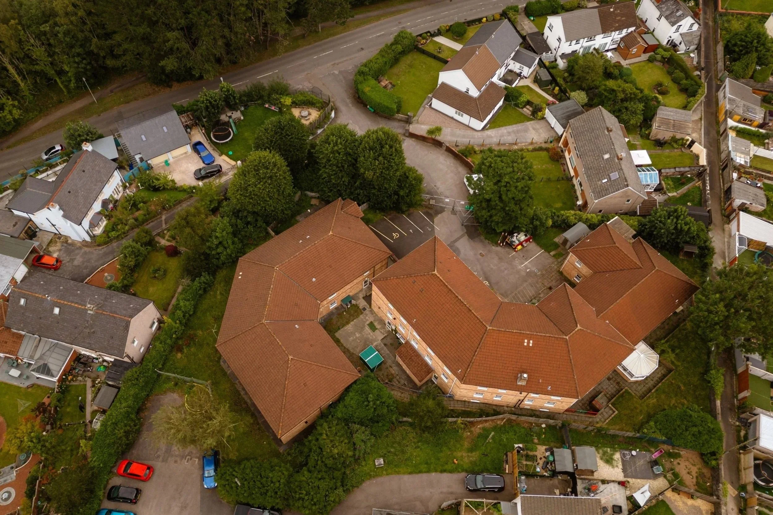
Our drone services provide aerial views for roof surveys, building inspections, and overviews of land and commercial sites. Aerial imagery offers perspectives that are not possible from ground level and is suitable for both documentation and promotional use.
Drone photography and video are commonly used for location imagery and corporate content. Pricing is calculated on a project-by-project basis, starting from £200.
Based in South Wales, Amy delivers commercial drone services across the UK. In most cases, no site access is required. All operations are carried out in accordance with local guidelines and drone licensing regulations.
Drone photography and video for aerial views, surveys, and inspections in South Wales.
Aerial inspection & surveying
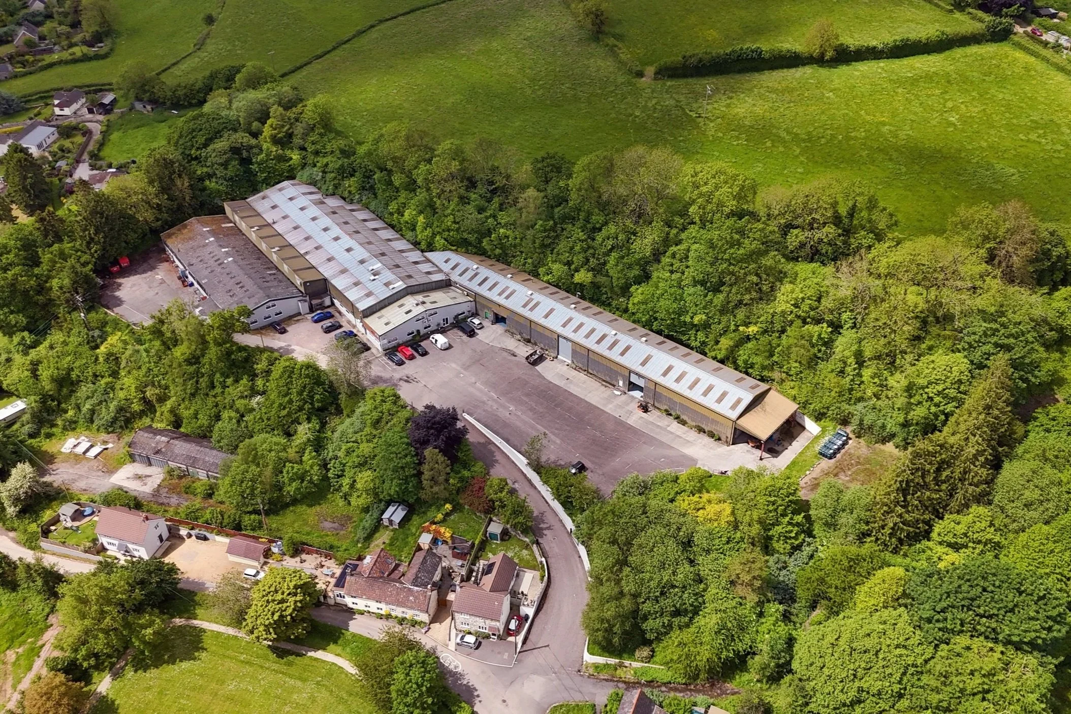
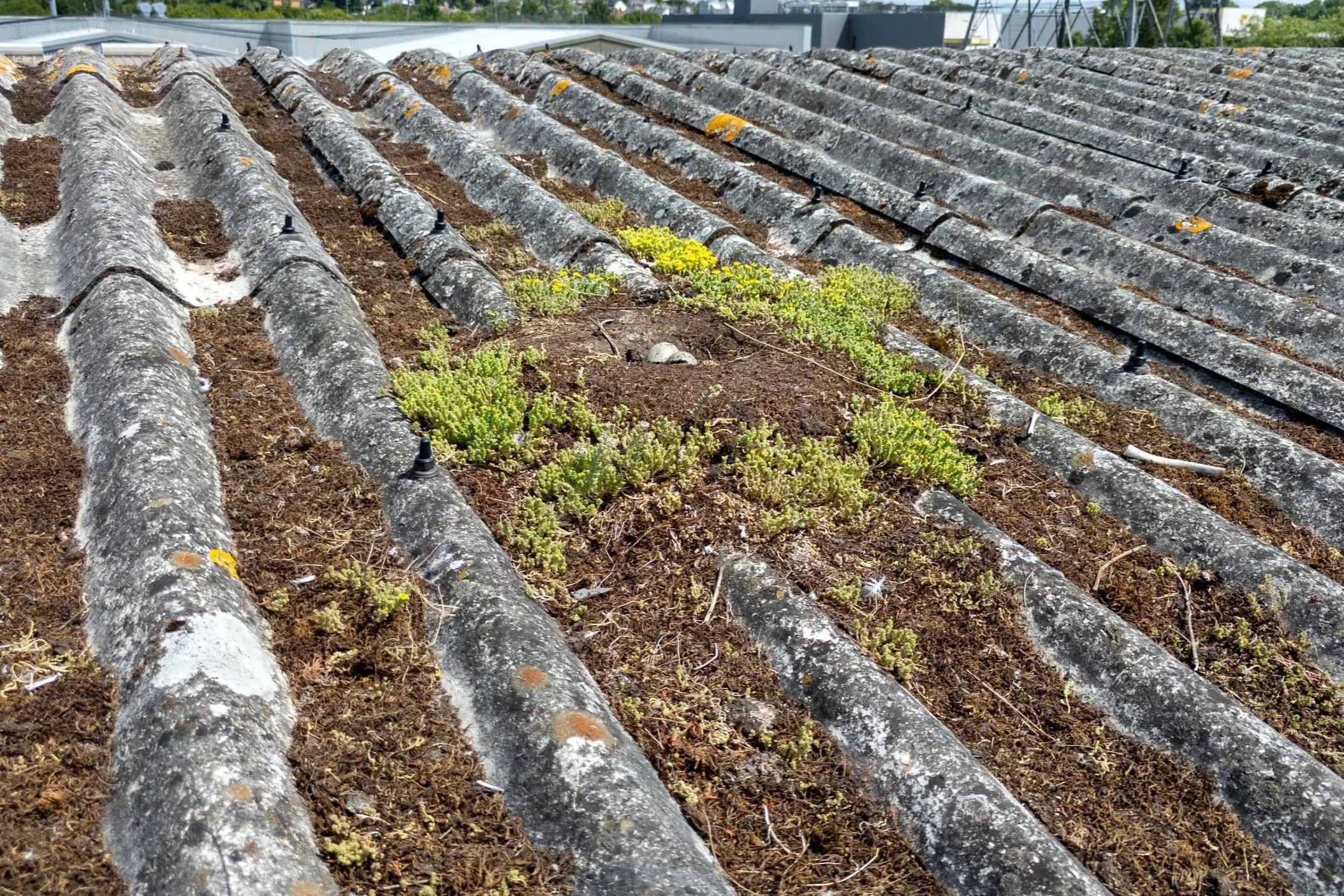
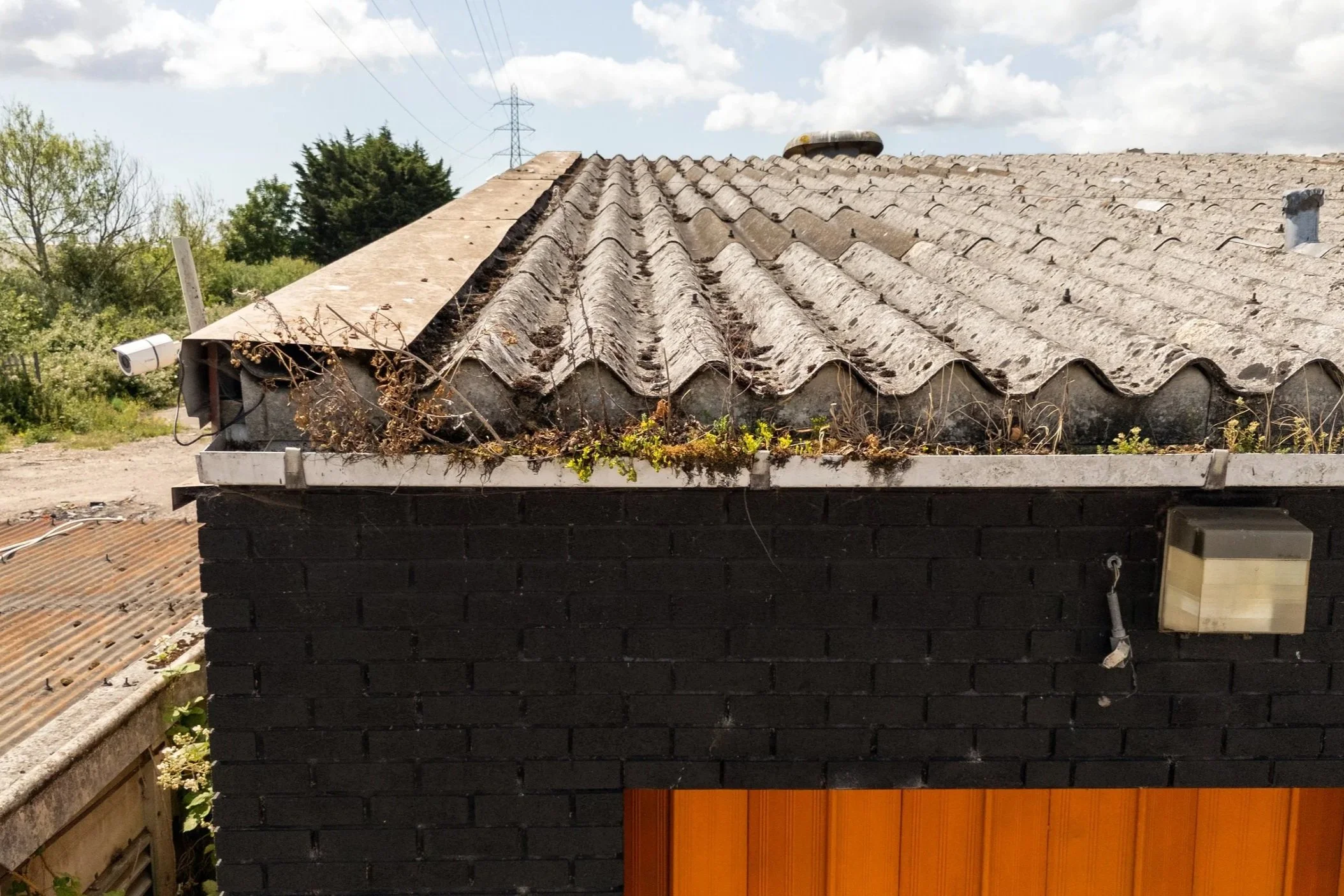
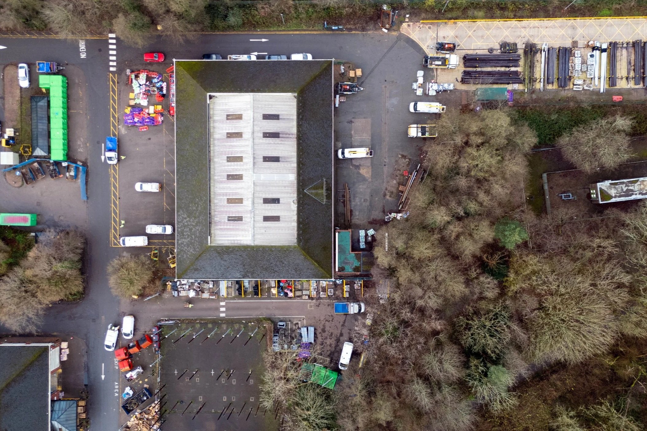
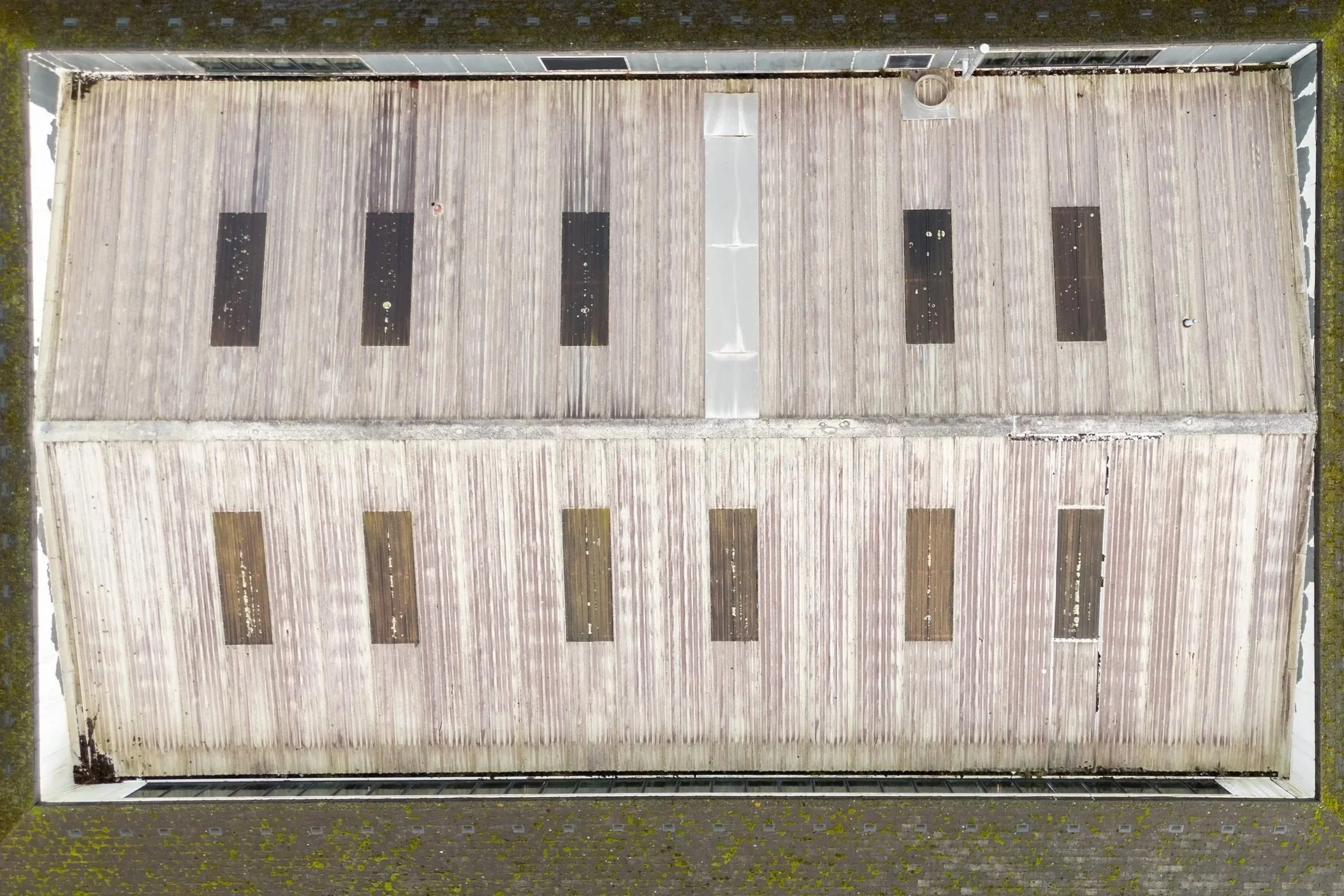
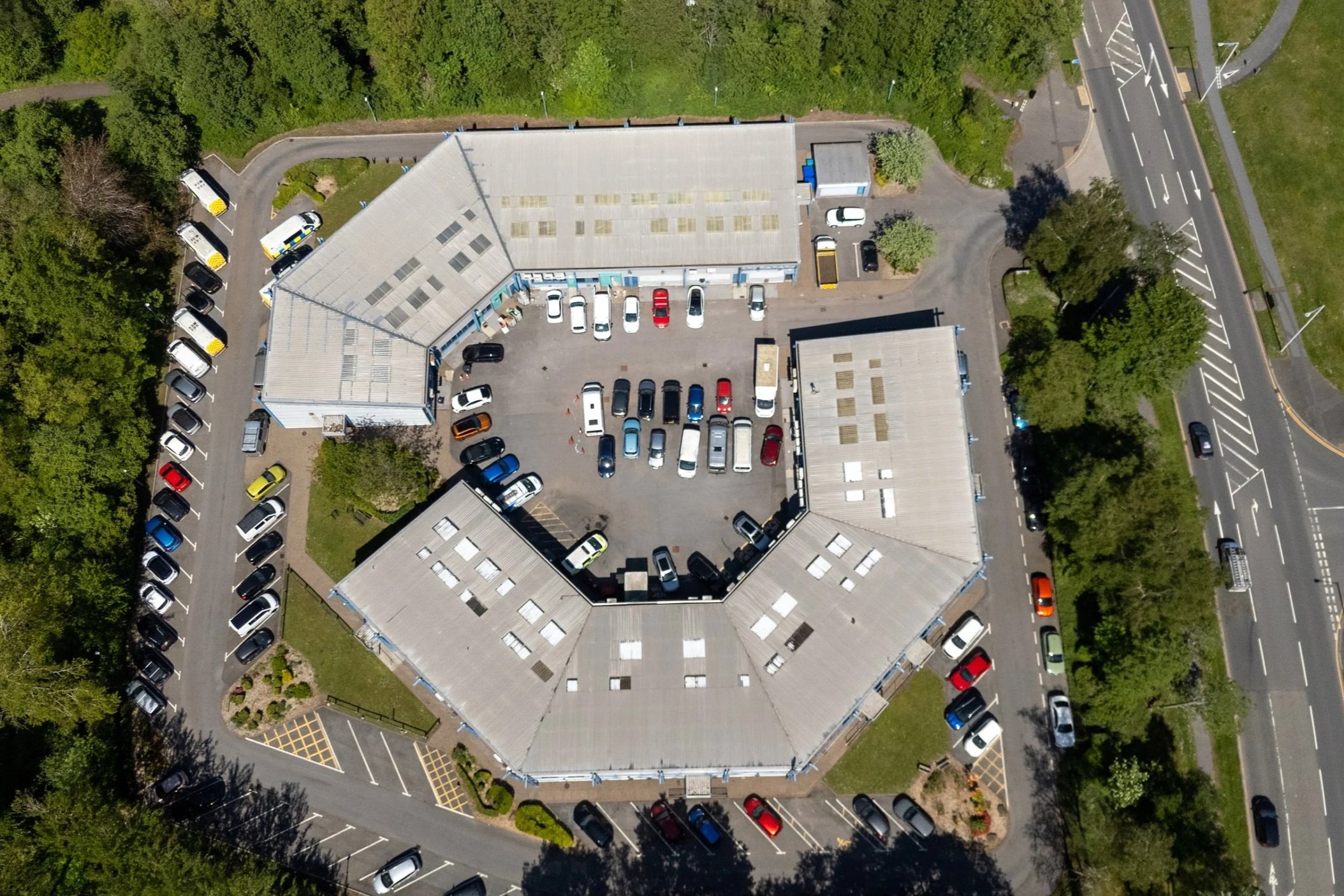
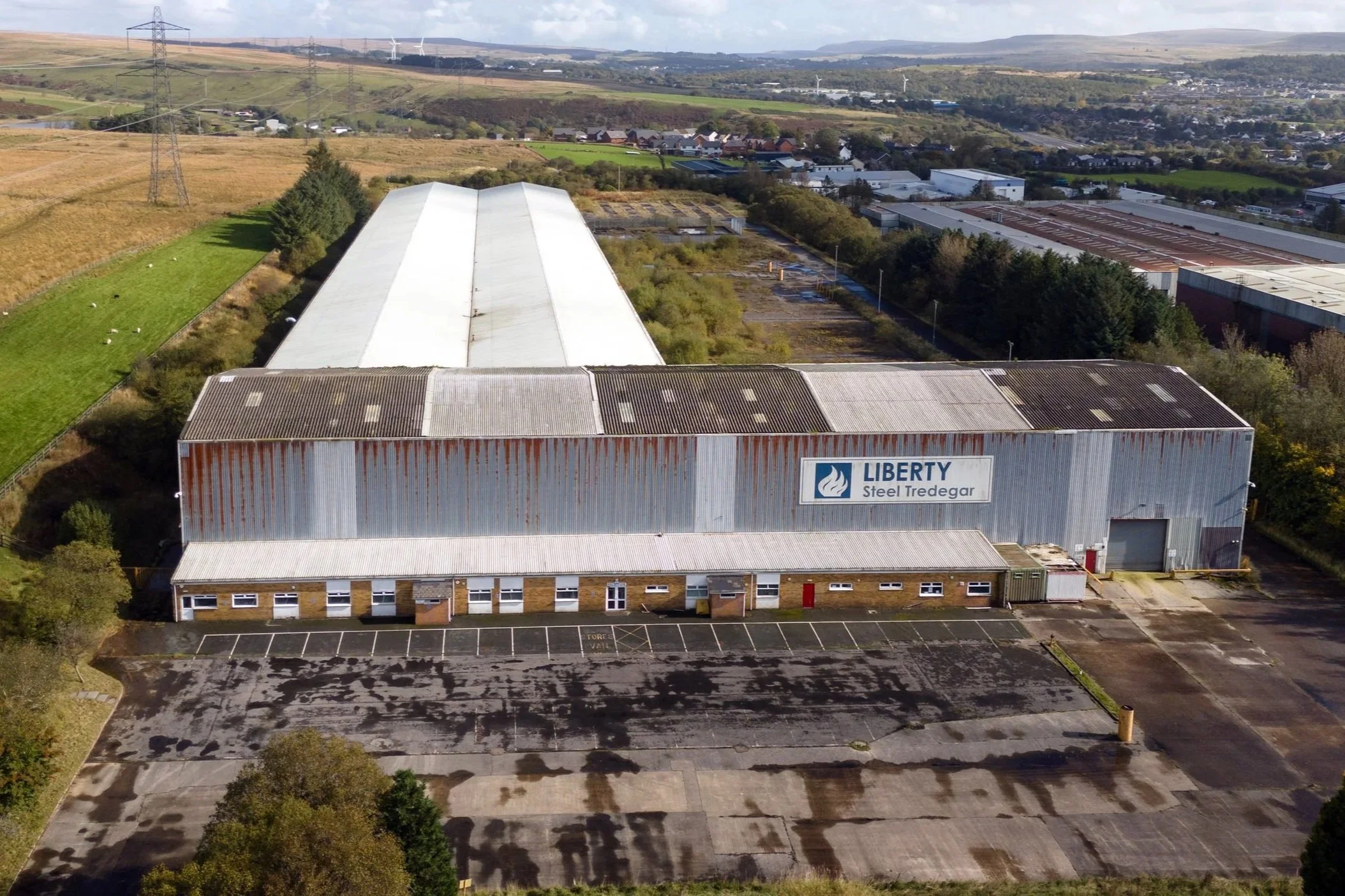
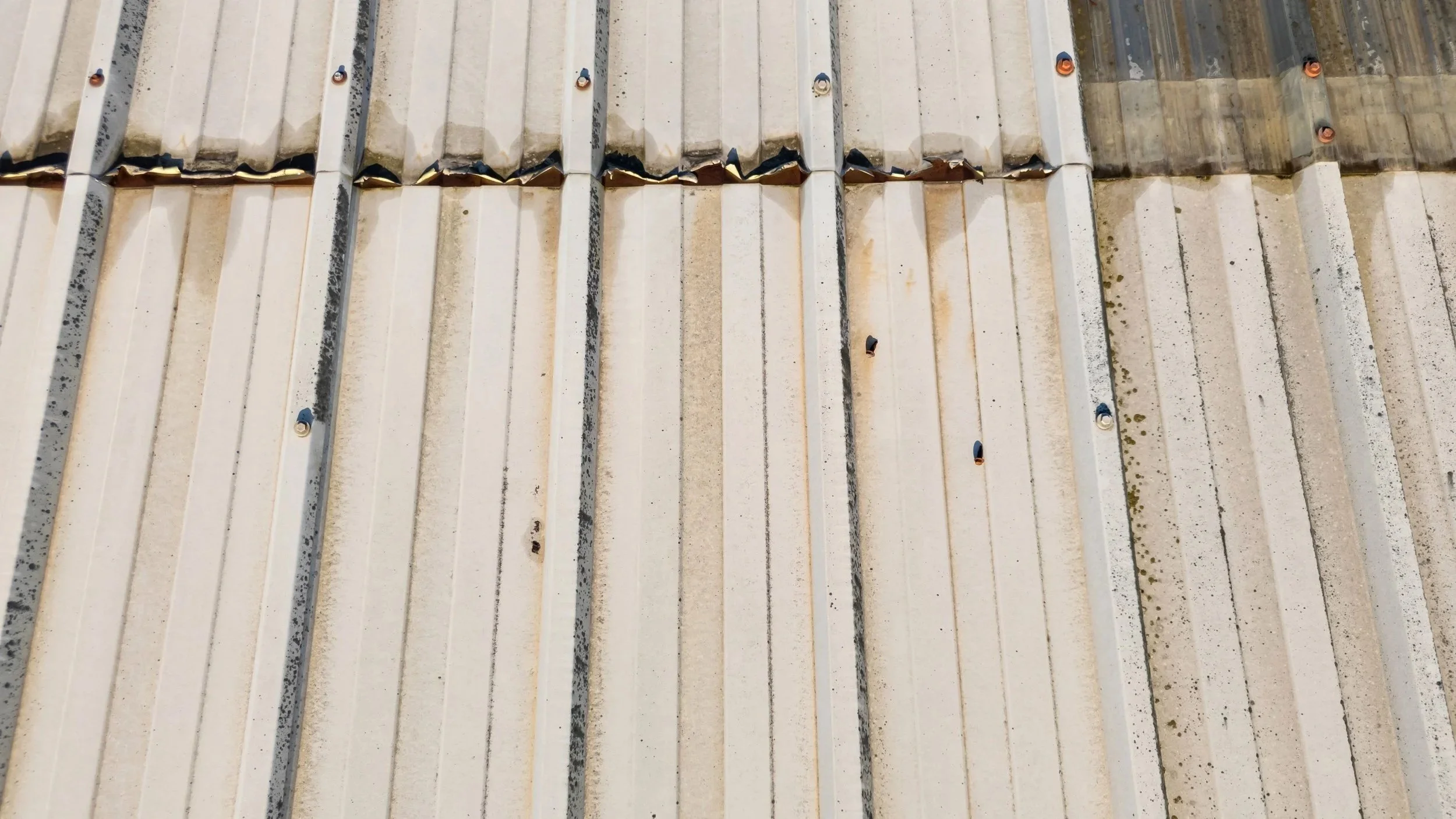
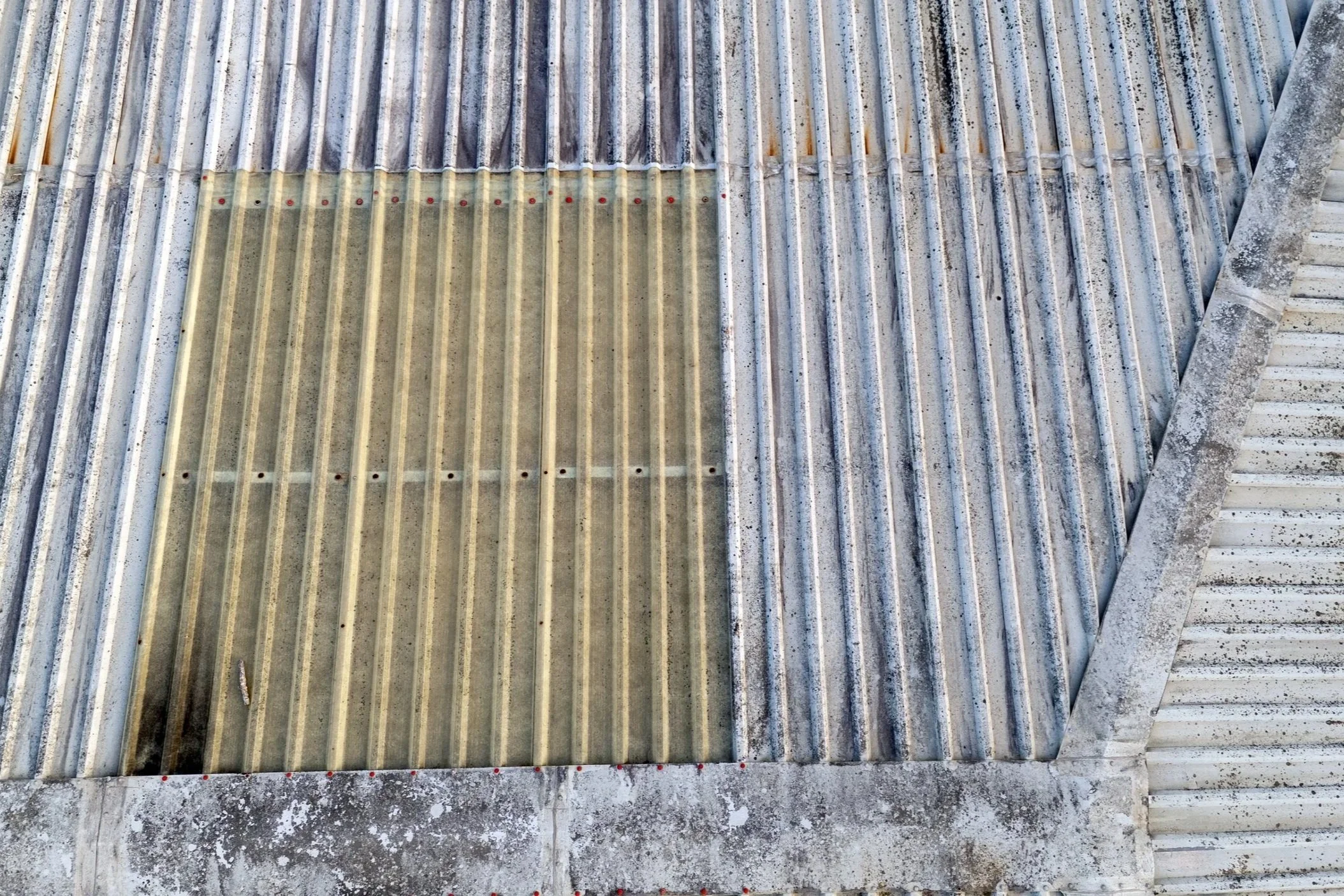
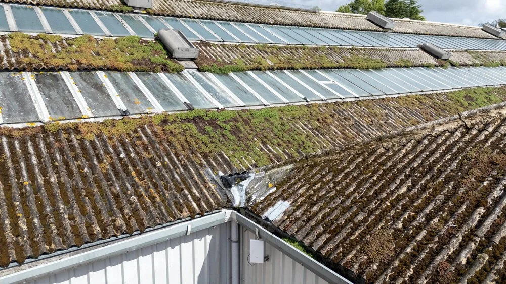
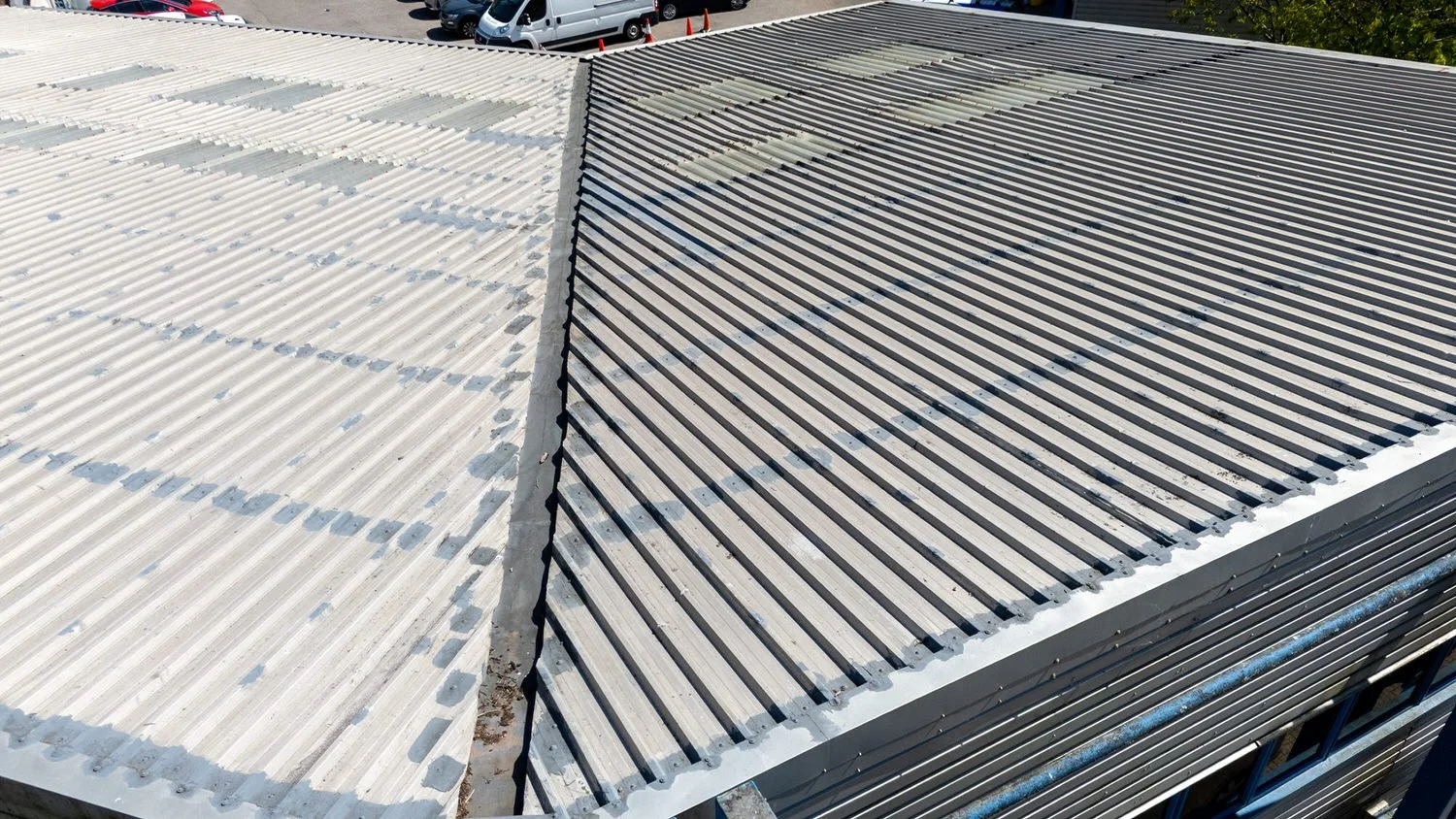
Our drone inspection and surveying services enable accurate assessment of assets such as buildings, towers, solar farms, and industrial facilities. Aerial data collection reduces downtime while increasing safety and precision.
Drone photography & videography
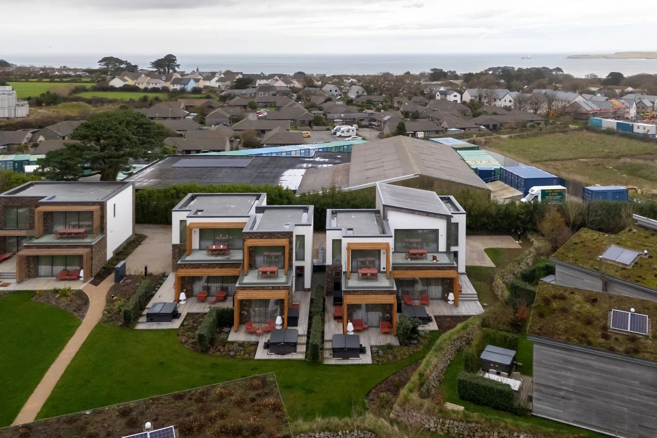
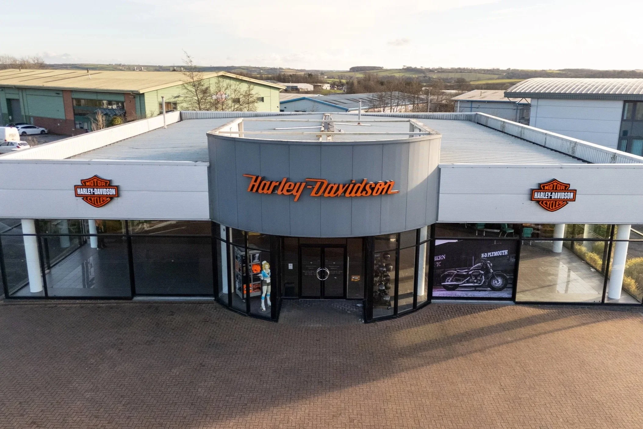
We deliver 4K drone videography and high-resolution drone photography for corporate communications, marketing campaigns, estate agents, and brand storytelling.
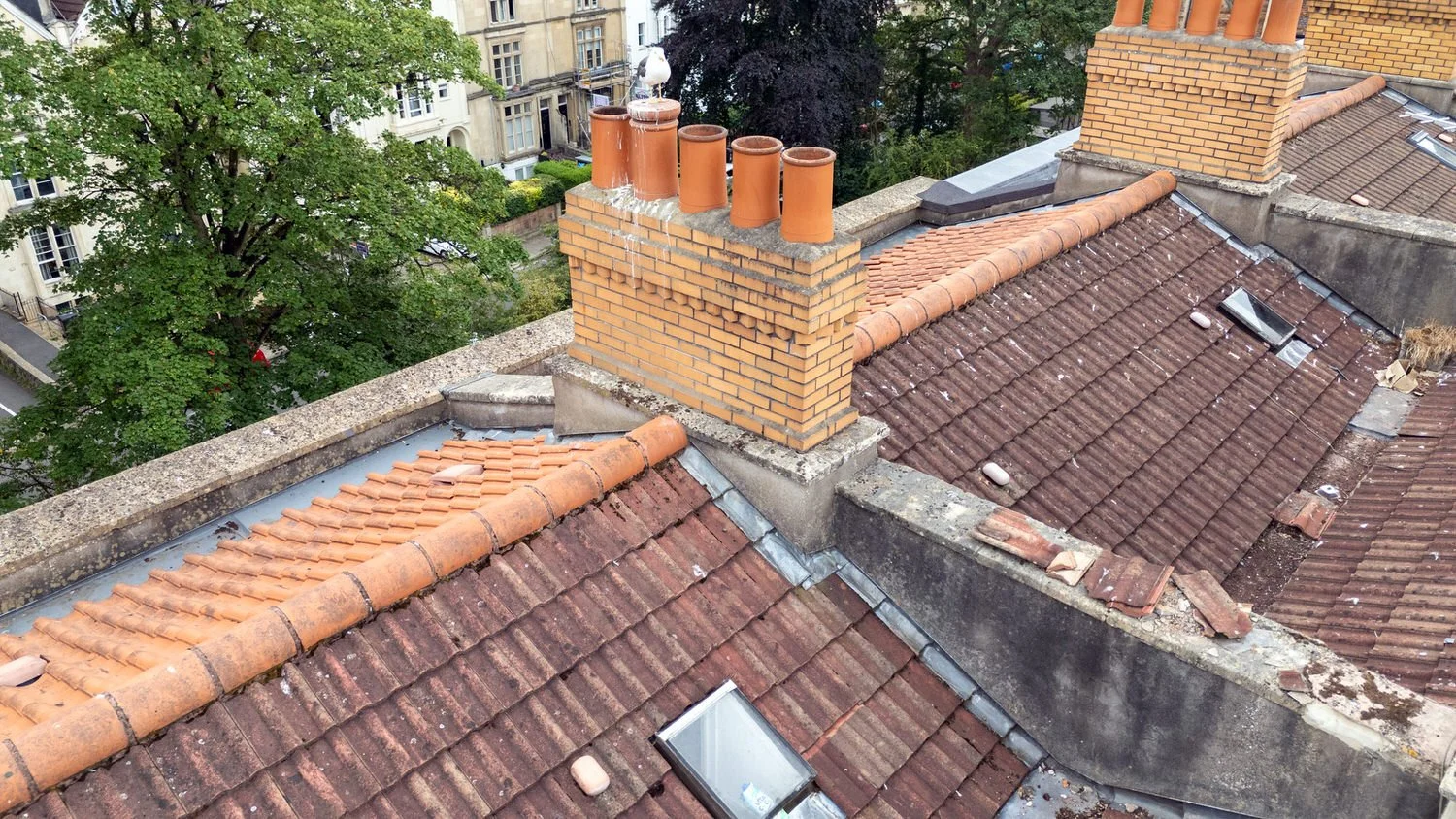
Drone Surveying services
Our drone surveying services support condition reports, dilapidation assessments, and building inspections. Aerial access allows detailed visual review of roofs, elevations, and hard-to-reach areas without the need for scaffolding or site disruption.
Reasons for choosing aerial photography
Common drone photography uses
Corporate marketing and brand assets
Estate agents and property portfolios
Surveying and condition reporting
Construction progress documentation
Infrastructure and asset records
Industrial facilities and plants
Hospitality, resorts, and venues
Event and site overviews
Environmental and land monitoring
Tourism and destination imagery
Why choose our drone services
Reduced inspection and survey costs
Faster data collection and reporting
Improved workplace safety
High-resolution aerial imagery and data
No staff members required on site
Licensed drone operator
High-resolution visual evidence
Suitable for occupied or restricted sites
Minimal site disruption
Get in Touch
If you need drone photography or video for surveys, reports, landscapes, or inspections, feel free to get in touch to discuss your project.